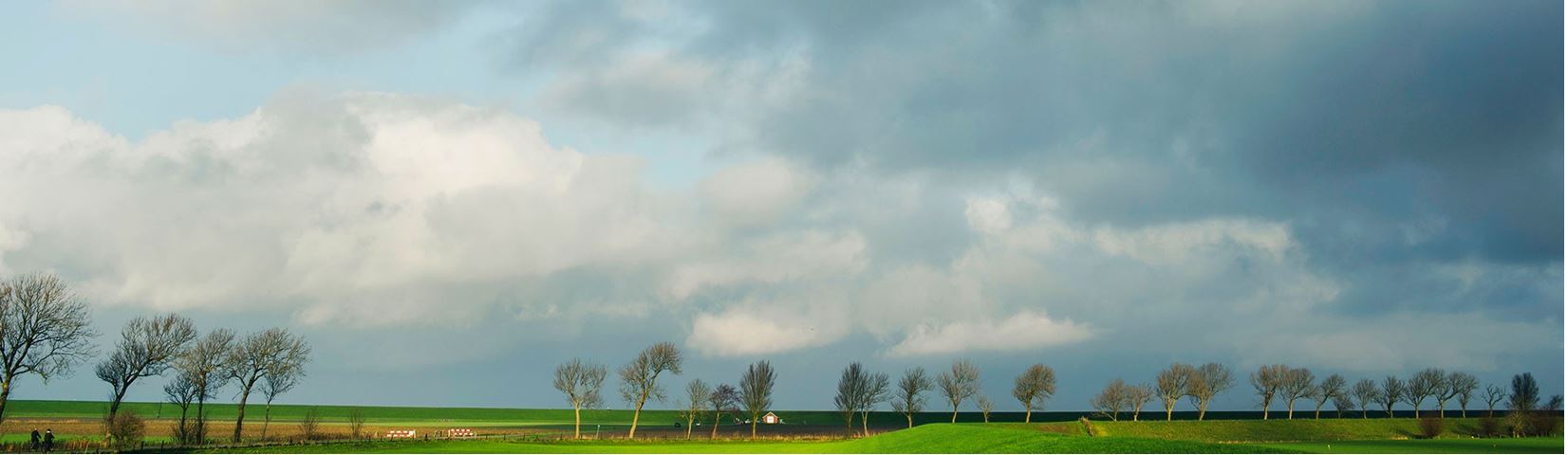
.
Bike routes through Wadden Sea World Heritage Groningen
Treasure map of the Waddenland region
Routes through Wadden Sea World Heritage Groningen
Discover the treasures of the World Heritage Wadden Sea in Het Hogeland with this route planner for Groningen. Choose one of the themed routes for cycling or e-biking, or create your own route based on the more than 95 sights described in the app. This means you can also explore by car if, for example, you are unable to cycle (anymore).
Interesting – maybe hidden at first glance – elements in the Wadden landscape tell about the history and origins of this region with old creeks left by the Wadden Sea, wierden (artificial dwelling mounds), 12th century churches and monumental farmhouses, the life of the nobility, the farmer, the citizen and the farmhands who made the economic boom of this part of The Northern Netherlands possible in the 19th century. Stories related to cultural heritage, on display in Museum Landgoed Verhildersum in Leens, in Open Air Museum ‘Het Hoogeland’ in Warffum and cultural landscapes owned by Staatsbosbeheer. This route planner is made available for free by this collective, with support from the Waddenfonds fund.
Bicycle junctions
The routes are based on the existing network of bicycle junctions. That way you will always know where to go.
Choose a ready-made route or make up your own route. Each route is translated, the translation you find after the Dutch text.
Theme: Fat clay makes rich farmers
Cycling junctions: 52,16,24, 19,22,37,39, 32,33,35,36,99,38,27,26,25,40,94,16,52.
Route map Fat Clay Makes Rich Farmers
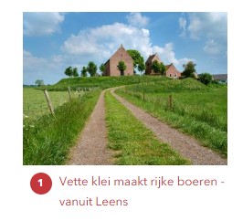
From Museum Landgoed Verhildersum in Wierdendorp Leens, where you can experience how the nobility, the farmer and the farm labourer lived in the 19th century, through the polder near Hornhuizen (the old seed drying factory is now a gallery there) and along the sea dyke. See the salt marshes and the old and new farmhouses on land reclaimed over many centuries. Potatoes, mustard seed and grain grow luxuriantly on the oily clay soil. Experience the Grain Republic of Groningen, which has brought so much wealth. In the past and now. Partly thanks to innovations in agriculture. Such as the Eagle Plough, first imported in the 19th century by the farmer at Groot Zeewijk in Bokum and the invention of drainage by his friend Cornelis Reinders. Past Pieterburen and mound villages such as Wierhuizen, Broek, Eenrum and Wehe den Hoorn back to Leens. Just outside Wehe den Hoorn lies the grounds of the former Starkenborgh, which was once also owned by the borgheren van Verhildersum. Now the Forestry Commission takes care of the land. In Leens there was also the factory where the first sowing seed was produced. The Eagle Plough and the seed drill can be seen in the museum farm at Verhildersum where there is a large collection of 19th century agricultural tools and crafts.
Theme: Culture and Nature hand in hand
Cycling junctions: 52,17,18,19,12,11,9,10,14,23,89,90,88,87,86,93,94,16,52.
Route map Culture and nature go hand in hand
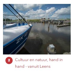
From Museum Landgoed Verhildersum via Kruisweg - a village that originated as a residence for farm workers - and Hornhuizen in the Westpolder to the Wadden Sea. You also pass Molenrij where the first Groningen mustard factory was founded (nowadays it is called Marne mustard in the city of Groningen). This is logical, as a lot of mustard seed was and is produced in this region. On to the National Park Lauwersmeer with its new nature to the old fishing village Zoutkamp. Along Vierhuizen with its corn mill and church. And through the Reitdiepdal, with its 2600 year old inhabitant history. On the way, the dykes and whirlpools are explained; they can still be seen in places where the sea once broke the dykes, such as at Westerhorn farm. This is where De Ploeg artists such as Johan Dijkstra painted their extraordinary canvases. Experience life with the sea, see the locks along the way such as in Houwerzijl (zijl = lock) and pumping station Electra; the Waterwolf and enjoy nature. Return via the mound village of Leens with the birthplace of Ploeg artist Hendrik Nicolaas Werkman.
Theme: Work and pray on the mounds
Cycling junctions: 52,17,20,21,28,27,98,97,26,25,42,41,67,85,84,86,93,92,91,15,24,16,52.
Route map working and praying on the mounds
From Museum Landgoed Verhildersum pass beautiful mound villages like Eenrum and Saaksum. Did you know that in Groningen almost every village has a medieval church of which the door is usually open? It is often situated at the highest point of the mound. The cycle tour goes partly along old church paths that the farmers and agricultural labourers used to walk to their church in the village. And along Warfhuizen where there used to be two mounds. In addition to Verhildersum, there used to be 62 other mansions, some of which have been preserved in the form of mansion grounds or trees along driveways. You will experience life with the water everywhere on this tour, which also takes you along the Reitdiep at Rode Haan. Near Lauwerszijl, you will see the Ruigezandsterpolder, created in 1877 with 5 farms that belonged to the City of Groningen. Cycle and enjoy the rich history and beautiful nature. Take a look in the church of Leens, founded around the year 1100, where you will find the Hinsz organ that was donated in 1733 by Borgvrouw Anna Habina Lewe, owner of Verhildersum at the time. You can also see the pew of the later owner of Verhildersum: the Van Bolhuis family.
Theme: Middle Ages, beautiful villages
Cycling junctions: 53,44,30,29,71,49,25,26,97,98,34,31,43,57,53.
Route Map Middle Ages, beautiful villages
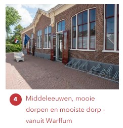
Start at Openluchtmuseum Het Hoogeland. This route leads past medieval churches, villages along the 19th century sea dyke built for workers and middle class people, dependent on the rich farmers. Passing Winsum, the most beautiful village of the Netherlands in 2020, windmills and the mound of Rasquert where excavations have brought 3000 years of history to the surface, which can be seen in the Open Air Museum.
Here you will experience life in a mound village in the north of the Netherlands in the 19th century. This cycle tour will visit various mound villages, including Winsum, the most beautiful village in the Netherlands in 2020.
The tour leads over the Old Dike, which in the 12th century protected North Groningen from the water of the Wadden Sea. The Printing Works in the open-air museum comes from Den Andel.
You see Westernieland and Saaxumhuizen, a small village with an originally medieval church. Via Mensingeweer, with corn and peel mill "Hollands Welvaart" you arrive in Winsum. The route continues past Baflo and Rasquert. In the latter village, various archaeological finds were made in the 19th century, many of which ended up in the Het Hoogeland Open Air Museum.
Theme: Seaport, World Heritage and Archaeology
Cycling junctions: 53,44,43,31,32,39,61,60,59,76,58,55,53.
Route map Seaport World heritage and Archaeology
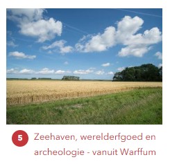
In Het Hoogeland open air museum you can see how the mound villages in the north of Groningen provided shelter to farm labourers and tradesmen. Their source of income depended on the farmers in Groningen. These farmers became enormously wealthy in the second half of the 19th century. See in Usquert the villas of the wealthy. And the one famous City Hall that was built in 1930 by the famous architect Berlage. The rich farmers even built the polders where you are cycling now. Also enjoy the atmosphere in the seaport with pumping station at Noordpolderzijl. The tour continues via the sea dike with a view of the Wadden Sea World Heritage Site to Westernieland. Then you go via Den Andel to Rasquert where in the 19th century, during the excavation of the fertile mound soil, finds from almost 3000 years of habitation history came to the surface. Much of it can be seen in the Open-Air Museum Het Hoogeland.
Theme: Trade, shipping and mysticism
Cycling junctions: 53,57,76,58,78,56,51,16,12,96,30,44,43,57,53
Route map Commerce, shipping and mysticism
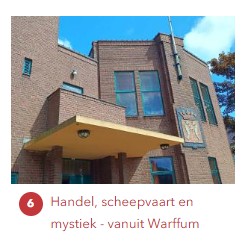
The route starts at Open-Air Museum Het Hoogeland in Warffum. You will cycle over the 12th century sea dyke and see both the old mound land and the new polders which arose from silted up sea clay. The agricultural proceeds of the large farms in the north were traded in the City of Groningen. All the grain, potatoes, milk and butter went by ship through the narrow canals to the south. Onderdendam lies at a junction of these canals and therefore grew into an administrative center of the region. Here you will find the former administrative office of the Noorderzijlvest water board and the courthouse. And the Center for the Amsterdam School in Groningen, which pays attention to the architecture that you see so much in this area. The route follows the Boterdiep for a while and arrives at Rottum via Stitswerd. Here, until the beginning of the 19th century, stood an influential monastery with many possessions, including the island of Rottumeroog. And on the mound of Helwerd, according to legend, the blind bard Bernlef was cured in the 8th century by missionary Liudger. Still an enchanting place.
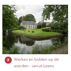
Onze leden